- Thumbnail
- Resource ID
- 88cb2f60-9d22-11e9-8d7d-000d3ab6a624
- Title
- OSPAR Regions (North-East Atlantic, 2014)
- Date
- July 2, 2019, 6:38 p.m., Publication
- Abstract
- Shapefile created based on the outer en inner boundary of the OSPAR maritime area. Both shapefiles were downloaded from the OSPAR website and merged into 1 file (2014-04-25).
The coastline used is EEA coastline for analysis (line) - version 1.0, Jun. 2013 from the European Environment Agency.
- Edition
- --
- Owner
- gridanode
- Point of Contact
- devrsgis@gmail.com
- Purpose
- --
- Maintenance Frequency
- None
- Type
- not filled
- Restrictions
- None
- None
- License
- None
- Language
- eng
- Temporal Extent
- Start
- --
- End
- --
- Supplemental Information
- No information provided
- Data Quality
- --
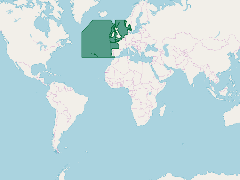
- Extent
-
- long min: -44.1991769995
- long max: 51.0000830649
- lat min: 36.0000000000
- lat max: 89.9999942353
- Spatial Reference System Identifier
- EPSG:900913
- Keywords
- no keywords
- Category
- None